Urban planning decisions affect millions but are often based on 2D maps or static 3D models. Stakeholders struggle to visualize large-scale impact across transportation, zoning, utilities, etc.
solution
Our Solution
We created immersive XR-based urban planning environments with AI-powered forecasting tools.
Tools we used
Approach
Step-by-Step Workflow
Step 1
Map terrain and infrastructure in XR
Step 2
Overlay zoning data, transport plans, utility pipelines
Step 3
Use AI to simulate traffic, population flow, pollution impact
Step 4
Enable interactive collaboration for city officials and citizens
Quantifiable Benefits
faster approval from planning boards
0%
more community participation
0x
Reduced rework in zoning plans
0%
Improved clarity in environmental impact planning
%
More transparent decision-making
%
Who’s Using This
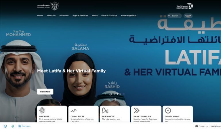
Smart Dubai for smart city planning
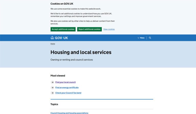
UK GOV Urban Taskforce for public consultation tools
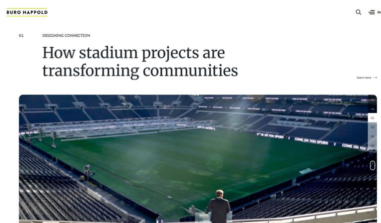
Buro Happold to visualize multi-stakeholder infrastructure projects
Why It Matters
This reshapes public infrastructure from top-down to collaborative. XR brings scale, clarity, and inclusivity to planning.
case studies
Real Results. Real Impact.
See how these use cases helped industry leaders transform operations with AI & XR.